
Mapping Drone
More than 15 million native trees and shrubs have been planted in Denpasar, Bali, and Surabaya. Let's plant mangroves and make the earth green!
More than 15 million native trees and shrubs have been planted in Denpasar, Bali, and Surabaya. Let's plant mangroves and make the earth green!
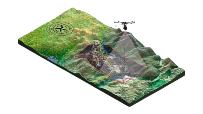
More than just aerial mapping. We provide accurate, quantifiable, and high-tech coastal carbon ecosystem data to support your validation, restoration projects, and ESG reporting.
At BOC, we do more than just fly drones. We transform spatial metrics into quantitative evidence. Here’s how our mapping services deliver direct value for your Measurement, Reporting, and Verification (MRV) and ESG reporting needs:

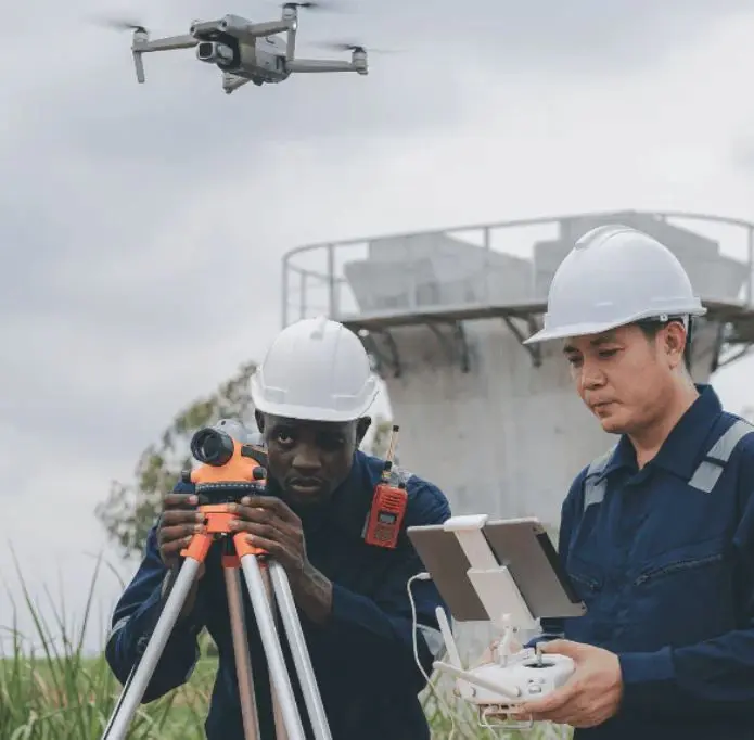
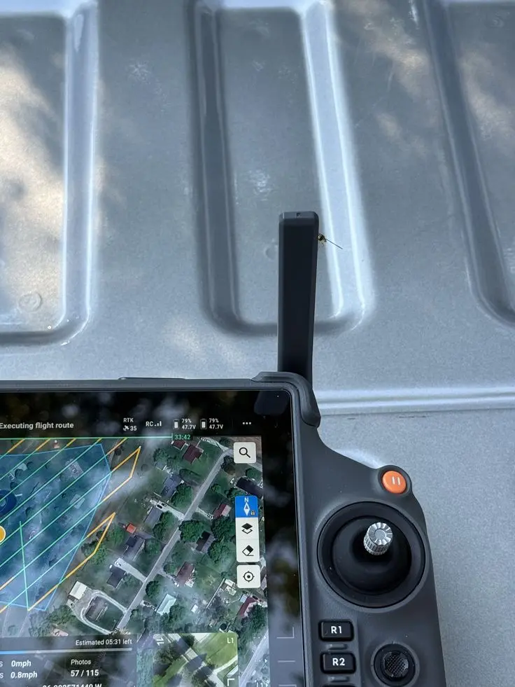
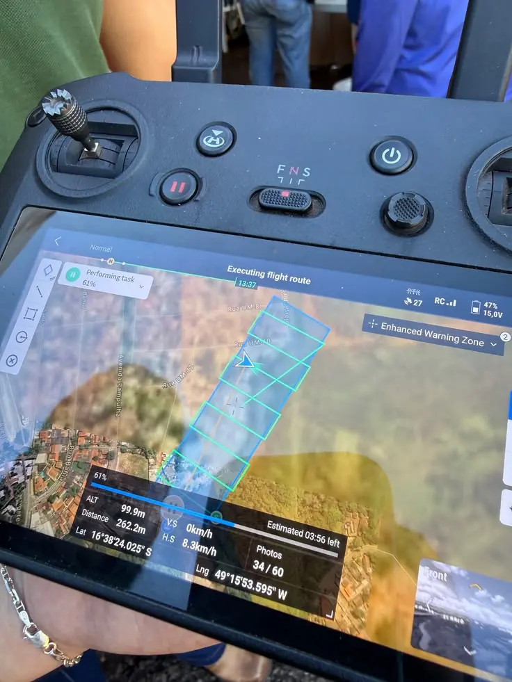
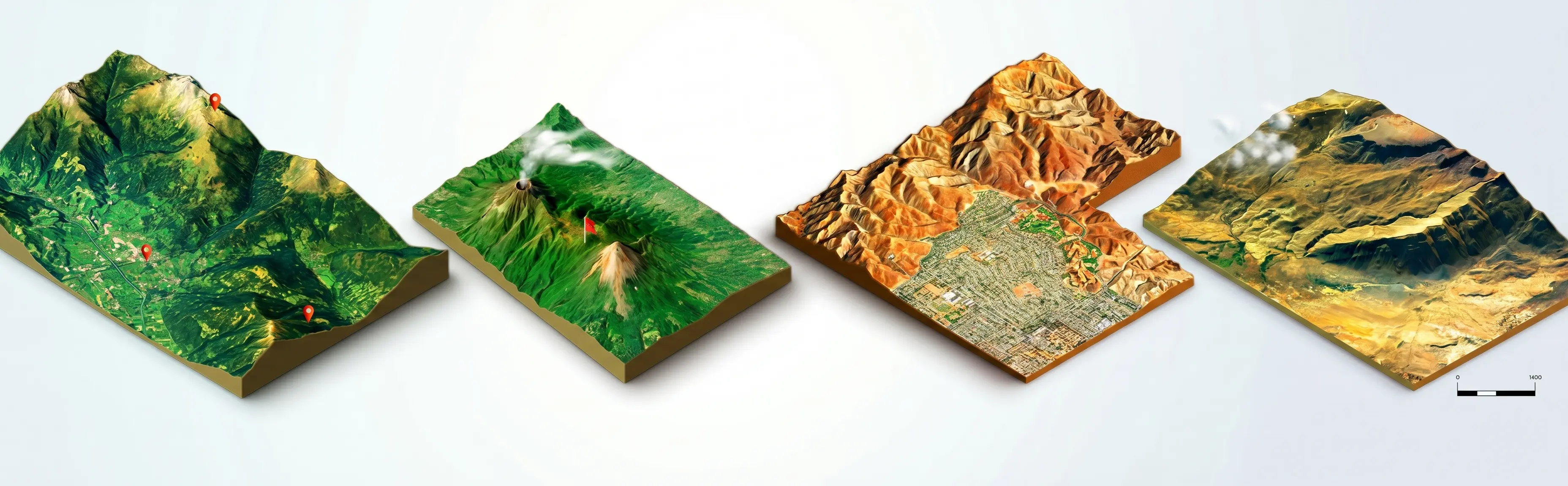
Baseline mapping with centimeter-level precision using RGB drones and advanced photogrammetry.
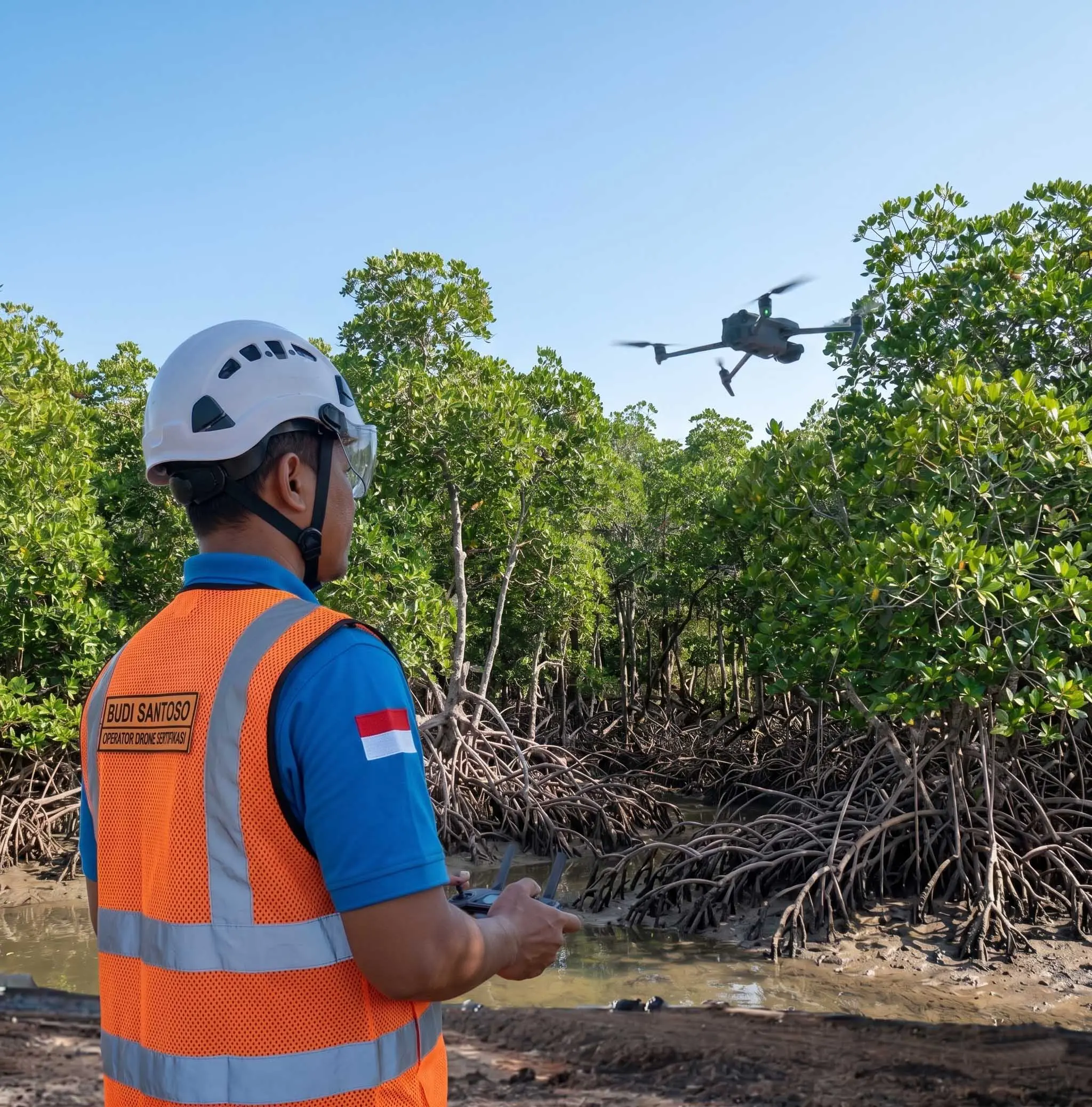

In-depth ecosystem health monitoring using multispectral sensors (NDVI) and AI-based data extraction.

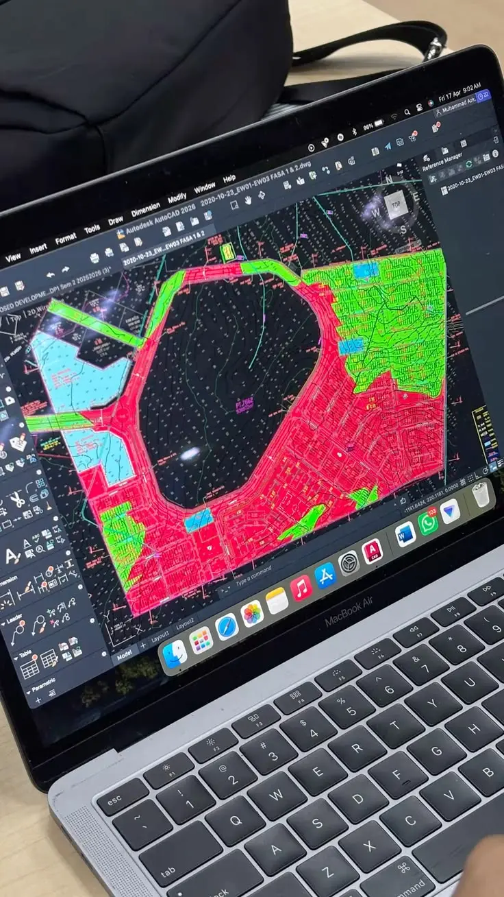
Spatial data processing to support biomass calculations and carbon sequestration estimates in coastal ecosystems.

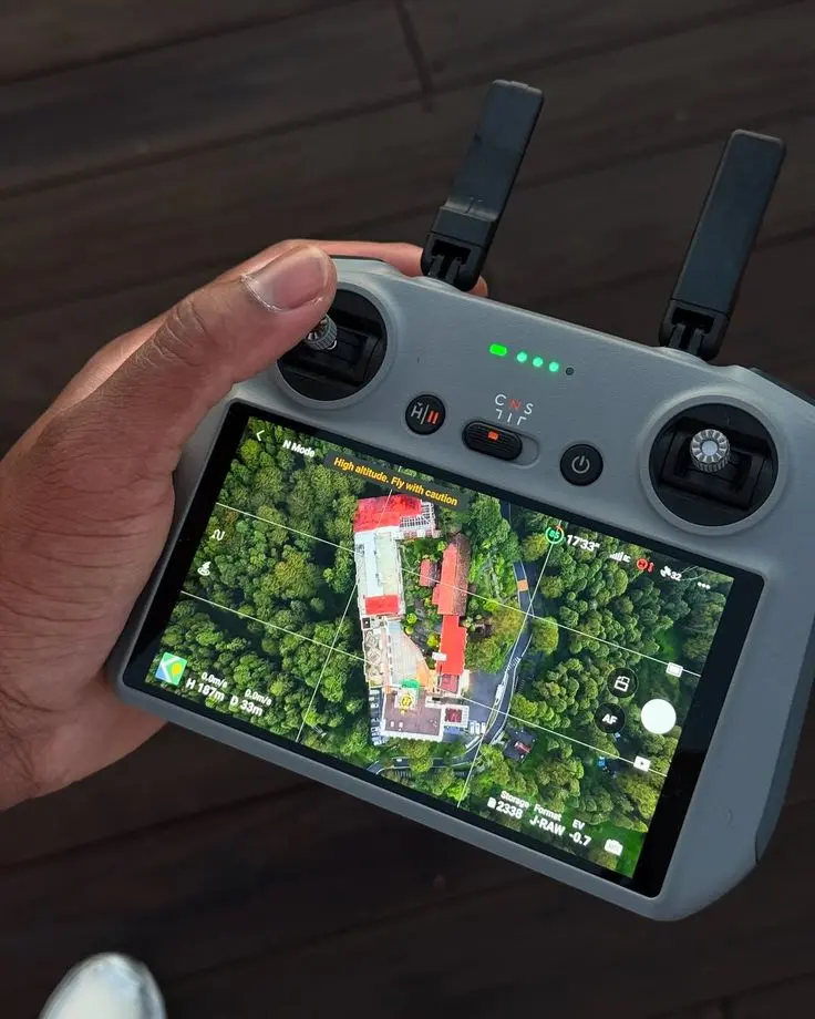
Cinematographic documentation and comparative analysis to demonstrate the tangible impact of your environmental investments.